MAC Fact: How MAC Airports Help Predict Flooding


MAC Fact: How MAC Airports Help Predict Flooding
June 02, 2023
With the temperatures in the Twin Cities finally staying above freezing, it may be hard to think about snow, but some snow remains in our region. In fact, snow piles at Minneapolis-St. Paul International Airport (MSP) often remain until July. Gradual melting of snow piles at MSP and elsewhere affects fluctuating water levels in lakes, streams, and rivers. One way these fluctuating water levels are monitored involves aerial surveys.
The National Oceanic and Atmospheric Administration (NOAA) conducts aerial Snow Survey Missions to gather water-content measurements used by the National Weather Service (NWS) Weather Forecast Offices and NWS River Forecast Center. Information collected by NOAA is used when issuing river and flood forecasts, water supply forecasts, and spring flood outlooks.
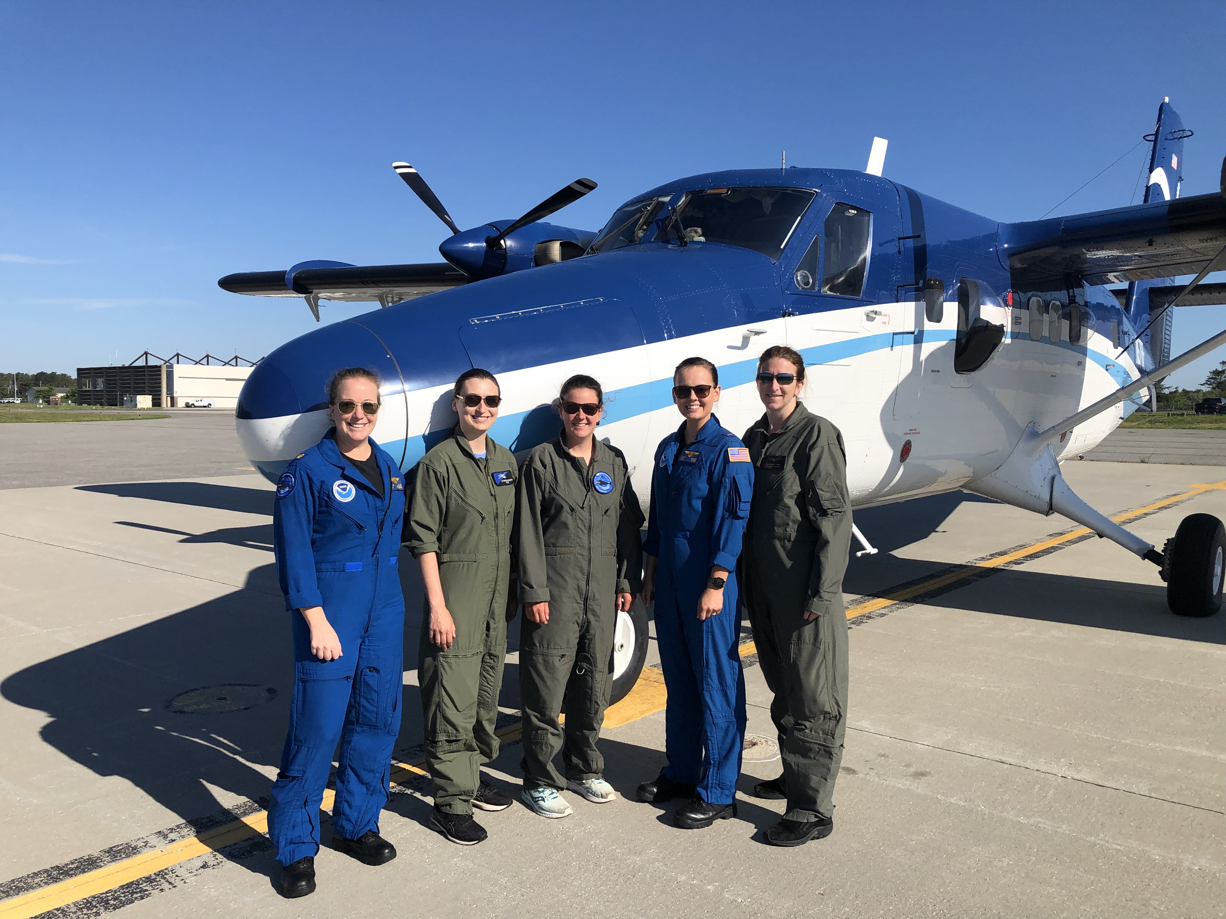
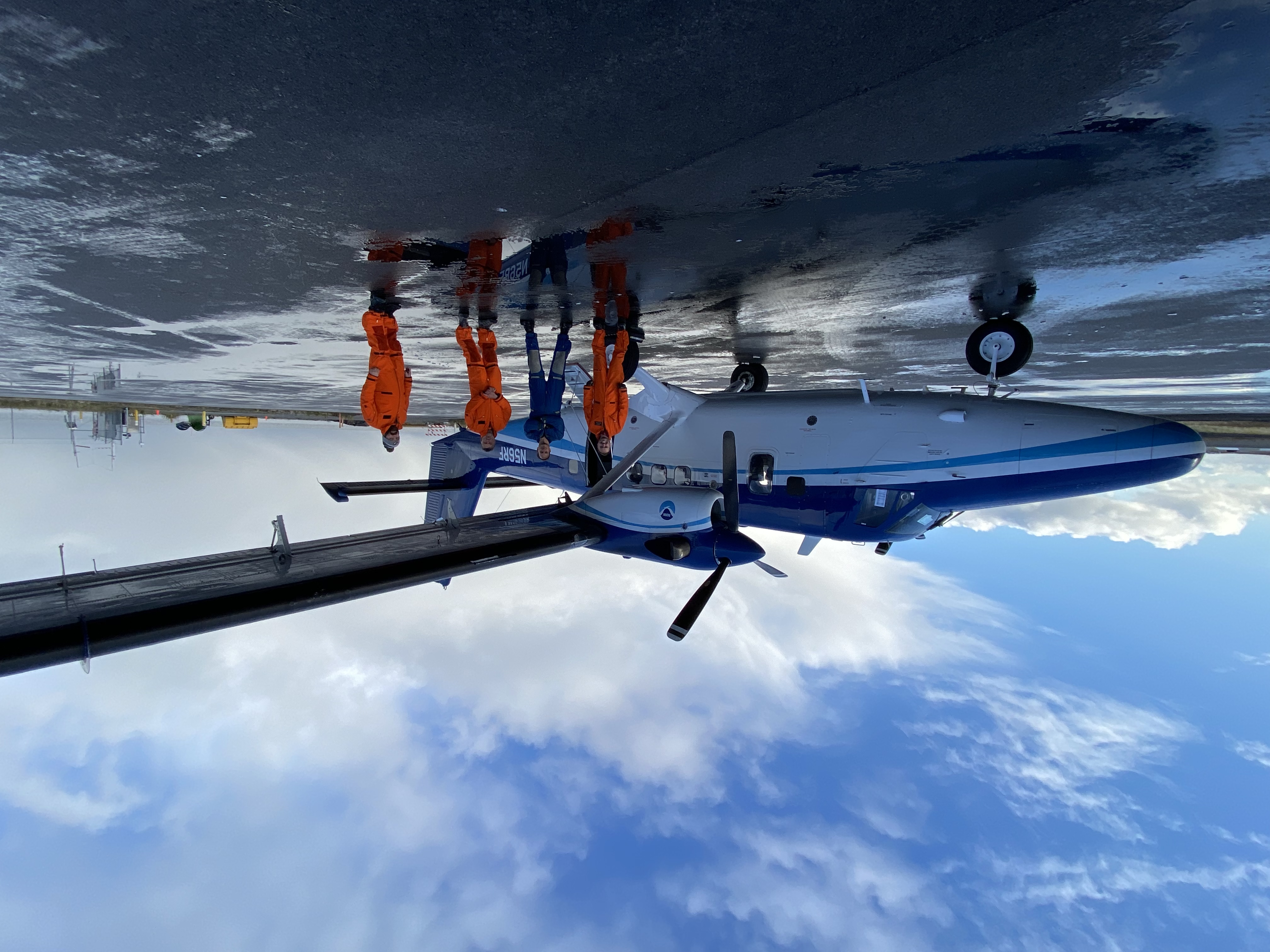
This year, two NOAA Twin Otter aircraft are conducting Snow Survey Missions by operating out of Flying Cloud Airport (FCM). These twin-engine turbo-prop aircraft are painted blue and white with the NOAA logo.
Residents beneath the flight paths of these operations may notice the aircraft flying at altitudes of 500 feet or greater. Each Snow Survey Mission is operated during daylight hours over various areas where snow is present, using specialized equipment and scientists who measure the snow’s water content. The data is then shared with the NWS and local agencies for forecasting and prediction purposes.
After a recent mission on May 11, NOAA pilots also worked on their nighttime flight proficiency with several takeoffs and landings at FCM between 10-11 p.m. Nighttime flight operations are periodically required for every pilot under Federal Aviation Administration regulations to stay current with their pilot license.
The Metropolitan Airports Commission (MAC) owns FCM and MSP, and five other airports in the Twin Cities area to serve the air transportation needs in the region. FCM is also serving water-level forecasting to benefit all of us!
The website for the NOAA Snow Survey program is - https://www.nohrsc.noaa.gov/snowsurvey/. The site includes links to data and flight areas.
To learn more about the NOAA Twin Otter aircraft and the NOAA research missions it supports, visit this webpage: - https://www.youtube.com/watch?v=F7ETHXf8_Ec&list=PLo6nK_jZ6RNsf9_OZhLmovH59krgW2gta&index=3